Welcome to my photography of Nicosia / Lefkosia.
As a result of the invasion of Turkish troops in 1974 and the subsequent
proclamation of the Turkish Republic of Northern Cyprus, the city is divided
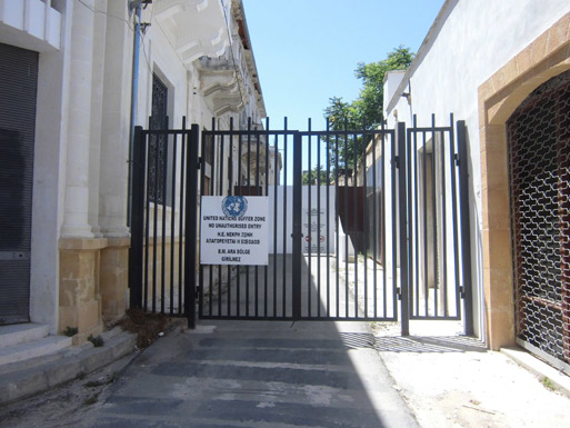
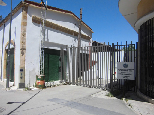
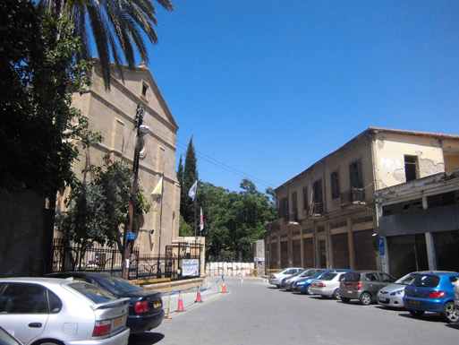
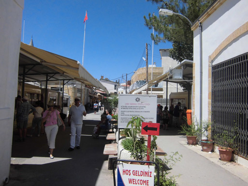
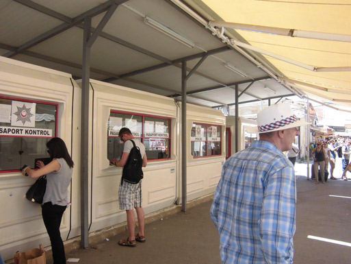
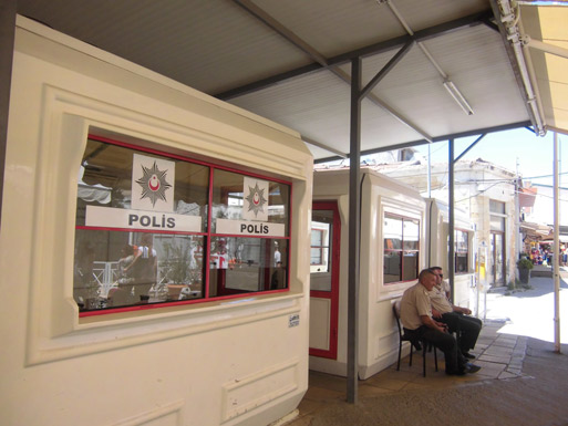
into Turkish and Greek parts. The boundary between them, secure a UN force
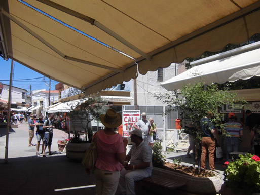
passes through the historic center of the city and through the main shopping
street of Ledra. Northern (Turkish) part of Nicosia is the capital of the
self-proclaimed Turkish Republic of Northern Cyprus and called Lefkosia.
Nicosia still remains as the only divided capital in the world, with the
southern and the northern portions divided by a Green Line.
Facts from Wikipedia:
"In 1960 Nicosia became the capital of the Republic of Cyprus, a state
established by the Greek and Turkish Cypriots. In 1963, the Greek Cypriot
side proposed amendments to the constitution, which were rejected by the
Turkish Cypriot community. During the aftermath of this crisis, on 21
December 1963, intercommunal violence broke out between Greek and Turkish
Cypriots. Nicosia was divided into Greek and Turkish Cypriot quarters with
the Green Line, named after the colour of the pen used by the United Nations
officer to draw the line on a map of the city. This resulted in Turkish
Cypriots withdrawing from the government, and following more intercommunal
violence in 1964, a number of Turkish Cypriots moved to the Turkish quarter
of Nicosia, causing serious overcrowding.
On 15 July 1974, there was an attempted coup d'état led by the Greek
military junta to unite the island with Greece. The coup ousted president
Makarios III and replaced him with pro-enosis nationalist Nikos Sampson.
On 20 July 1974, the Turkish army invaded the island on the pretext of
restoring the constitutional order of the Republic of Cyprus. However, even
after the restoration of constitutional order and the return of Archbishop
Makarios III to Cyprus in December 1974, the Turkish troops remained on the
island occupying the northeastern portion of the island. The invasion was
given the codename Operation Attila and included two phases.
The second phase of the Turkish invasion was performed on 14 August 1974,
where the Turkish army advanced their positions, eventually capturing a
total of 37% of Cypriot territory including the northern part of Nicosia and
the cities of Kyrenia and Famagusta. The fighting left the island with a
massive refugee problem. Out of a population of 600,000, an estimated
200,000 Greek-Cypriots had been uprooted and forced to flee south of the
Attila line, while an estimated 60,000 Turkish-Cypriots remained south of
the Attila line, uncertain of their fate.
On 13 February 1975 the Turkish Cypriot community declared the Turkish
Federated State of Cyprus in the area occupied by Turkish forces. On 15
November 1983, Turkish Cypriots proclaimed their independence as the Turkish
Republic of Northern Cyprus.
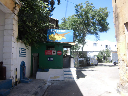
On 23 April 2003, the Ledra Palace crossing was opened through the Green
Line, the first time that crossing was allowed since 1974. This was followed
by the opening of Ayios Dometios/Metehan crossing point on 9 May 2003. On 3
April 2008, the Ledra Street crossing was also reopened.
The Turkish invasion, the continuous occupation of Cyprus as well as the
self-declaration of independence of the TRNC have been condemned by several
United Nations Resolutions adopted by the General Assembly and the Security
Council. The Security Council is reaffirming their condemnation every year." |
| All images © Copyright NorthCyprusPhotos.net • 2008-2013 |